In photos: The spectacular but contested Drakensberg source of Johannesburg’s water
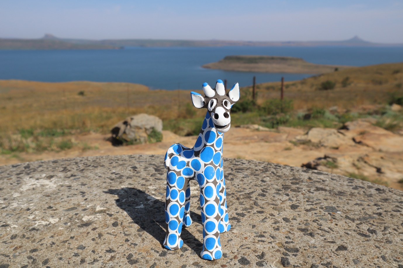
A curio giraffe above Sterkfontein Dam. Photos: Sean Christie, except for one by Tladi Moloi
It is well known that Johannesburg receives most of its potable water from the Lesotho Highlands Water Project, via the Vaal dam, but there is another equally voluminous inter-basin water transfer scheme that feeds into the Vaal, called the Thukela-Vaal Transfer Scheme.
It is one of the country’s great feats of engineering, incorporating an underground power station at its heart — the Drakensberg Pumped Storage Scheme — which will function as the “on” switch if South Africa ever experiences total grid failure.
It is also a source of grievance for many communities in the Drakensberg area, who are bypassed by the scheme’s waters and must rely on rivers and boreholes for their water needs.
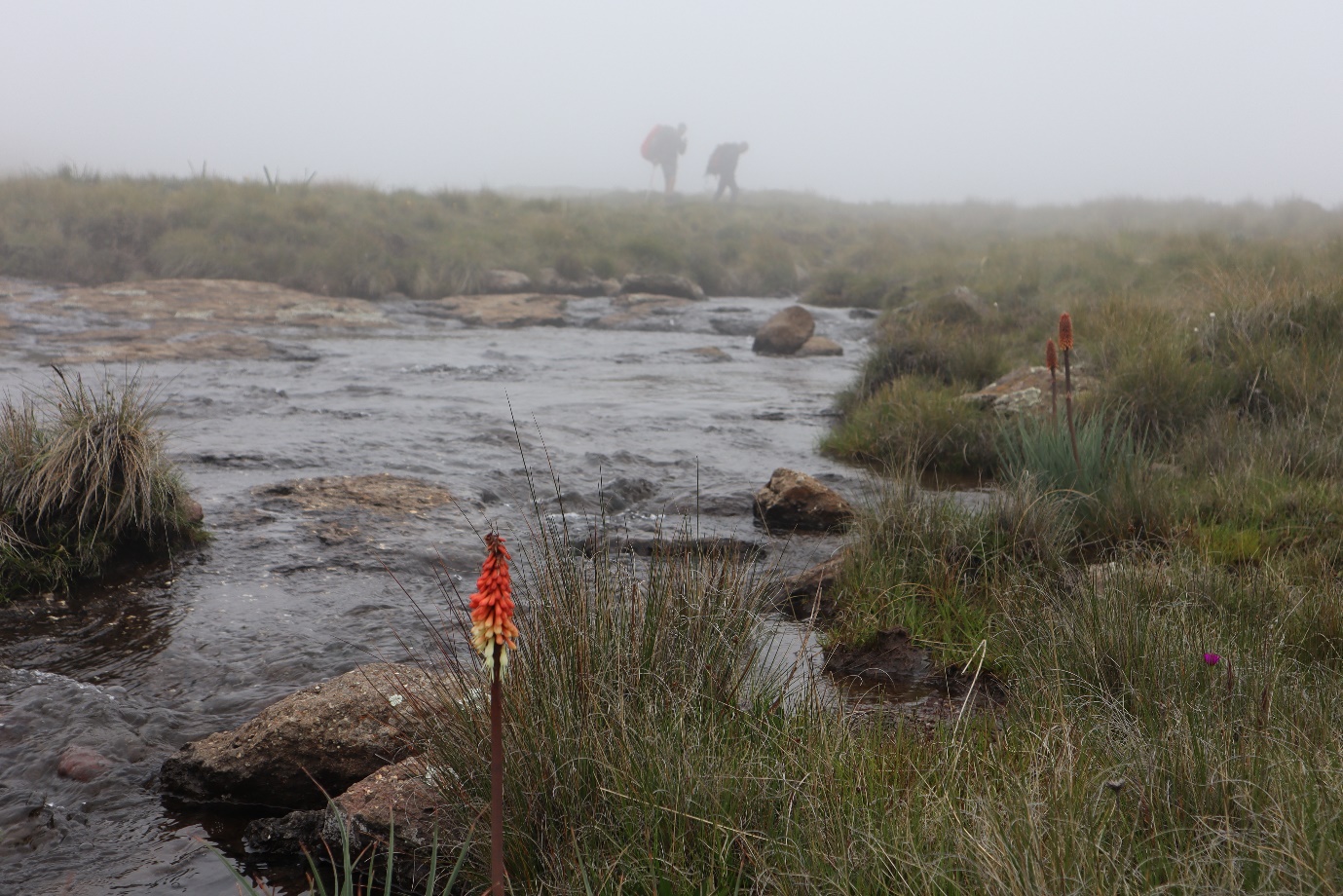
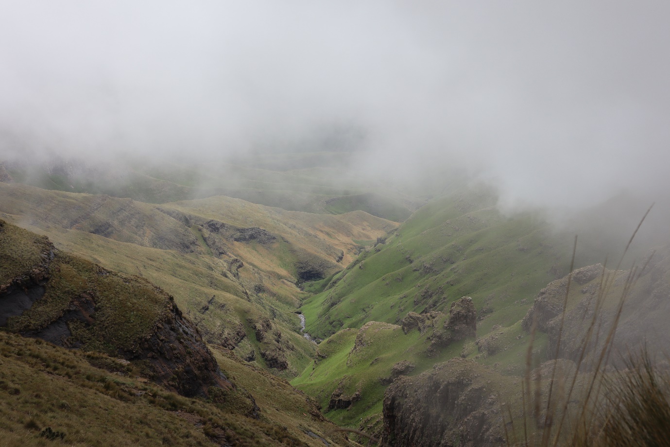
The Thukela River rises on Mont-Aux-Sources (“fountains mountain”) a peak in the Drakensberg range that lies mostly within Lesotho but flows eastwards down the South African side of the range.
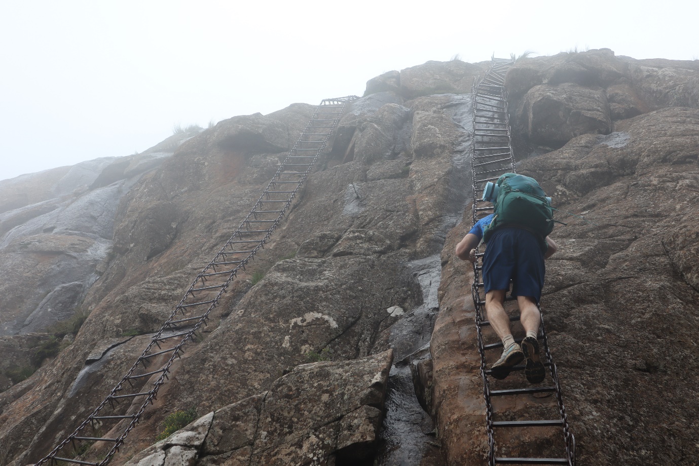
The famous chain ladders alongside Tugela Falls lead up to Mont-Aux-Sources and are not for the faint-hearted.
In the 1970s, South Africa’s water authorities realised that the demand for water from the Vaal Dam exceeded what it could supply. Negotiations with Lesotho to construct the Lesotho Highlands Water Project had started in the 1960s but these were proving lengthy and difficult, and so, as water historian Lani van Vuuren writes, “Attention subsequently became focused on the upper reaches of the Thukela River, several hundred metres below the headwaters of the Vaal and flowing in the opposite direction (towards the Indian Ocean).”
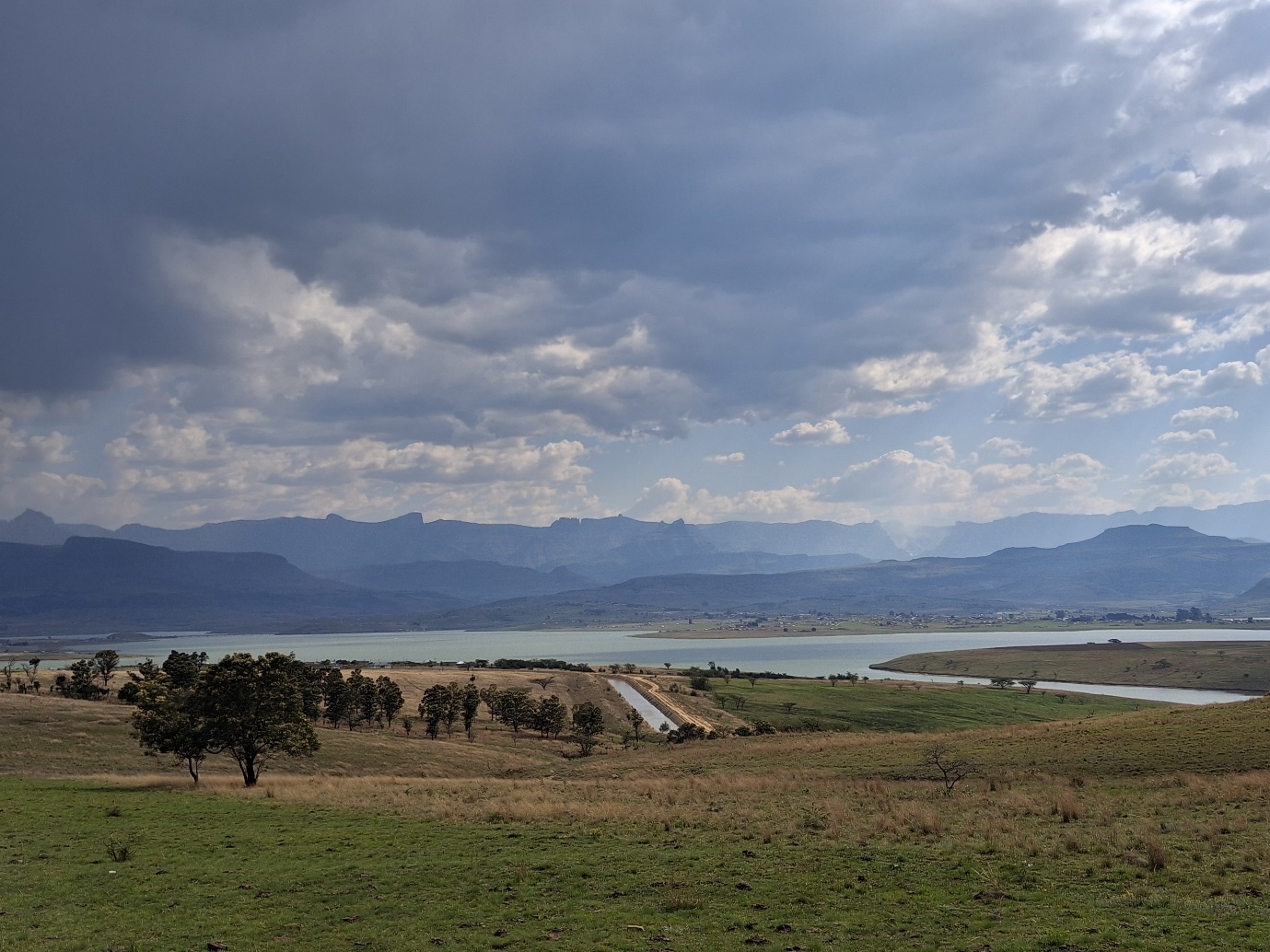
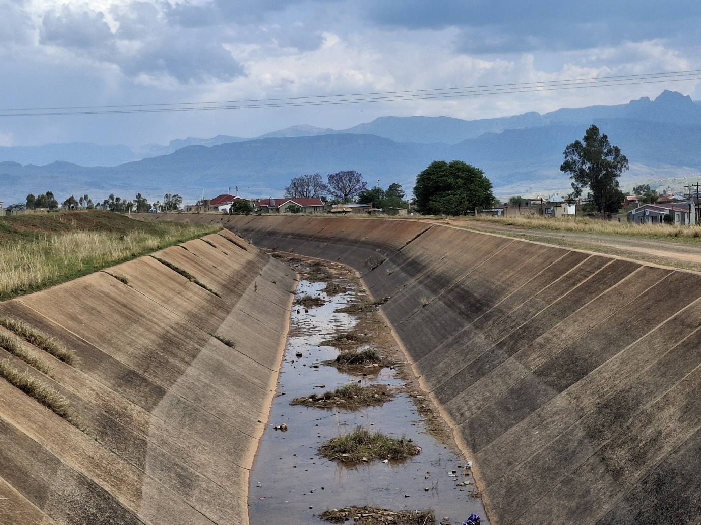
Woodstock Dam with the Tugela-Vaal canal in the foreground and the Drakensberg in the background. The waters of the Thukela enter Woodstock Dam, which was commissioned in 1982, and has a storage capacity of 373-million cubic metres. Water is let out to the nearby Driel Barrage, which pumps into the Tugela-Vaal canal, and water is then gravitated 37km to the foot of the Oliviershoek Pass, where it is pumped through the mountains into Sterkfontein Dam on the other side of the escarpment, a height difference of 460 metres. Here it sits, all 2,656 million cubic metres of it, ready to be gravitated down to the Vaal Dam via the Nuewjaarspruit and the Wilge River, if the level of the Vaal Dam drops below 22%.
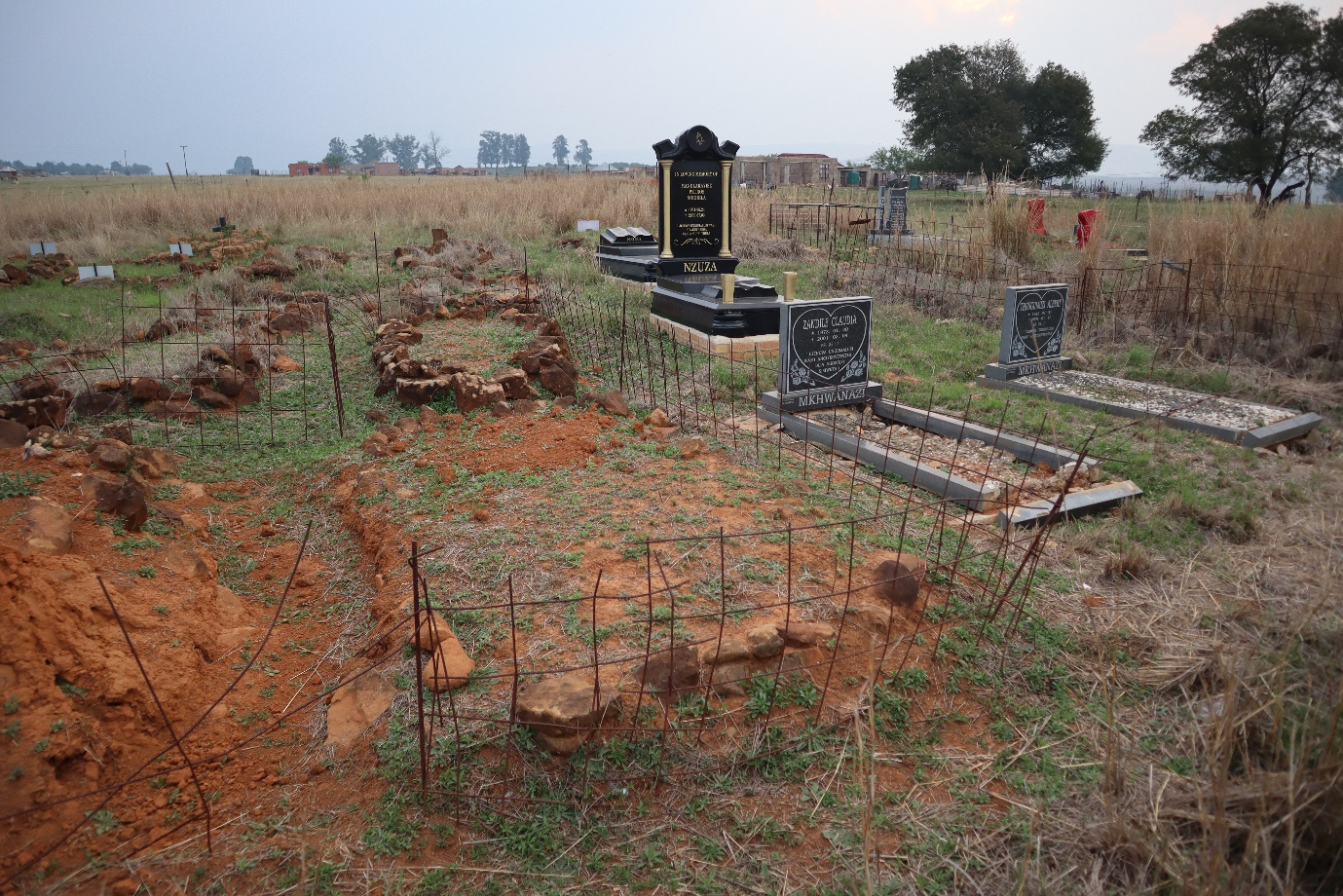
Graves in the basin of the Woodstock Dam were relocated outside the floodplain. But not all of them were relocated, according to those old enough to remember the relocations.
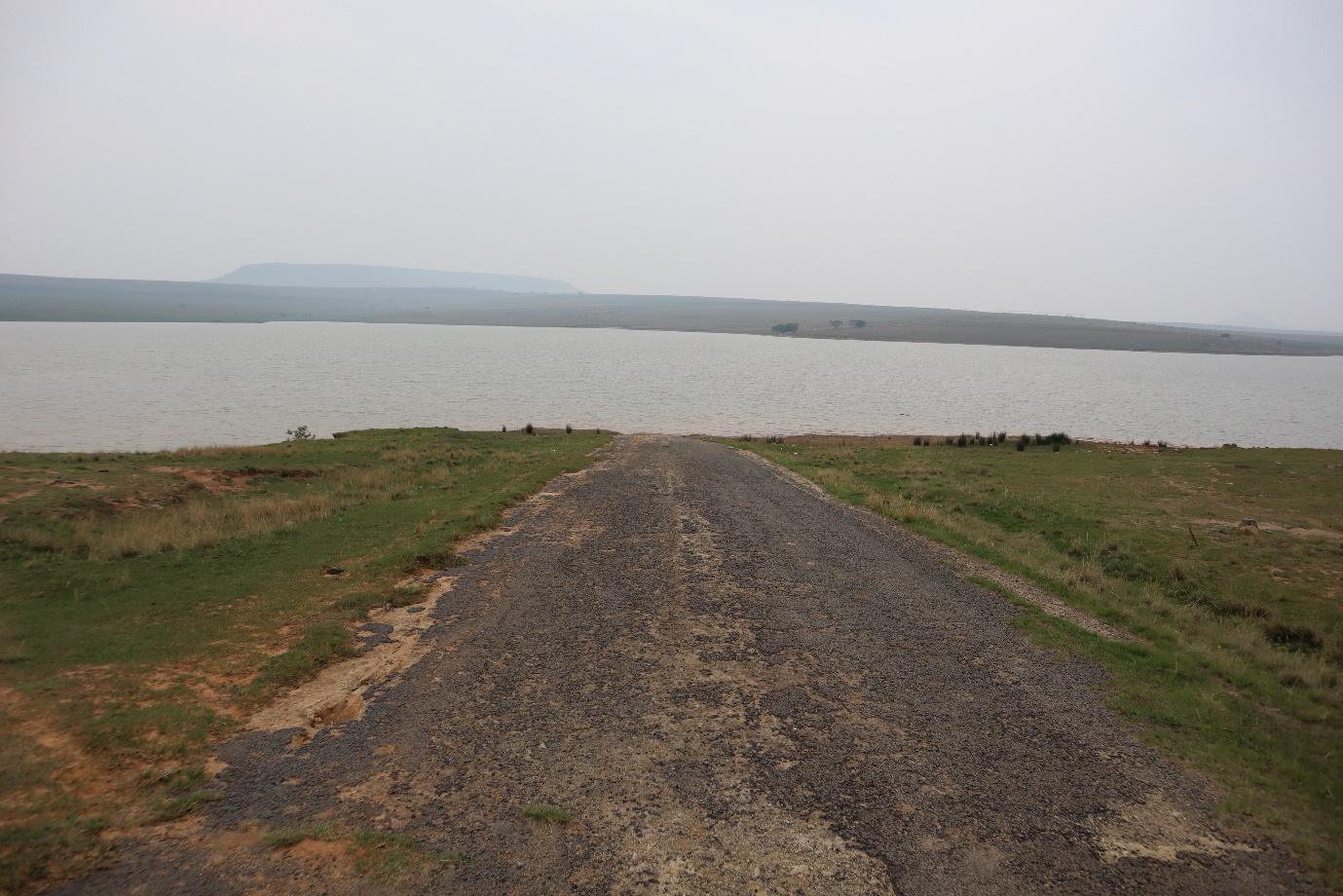
The old road between Oliviershoek and Rookdale. The flooding of Woodstock Dam required the relocation of thousands of people, many to the Drakensberg side of the dam, cutting off their historical access to the town of Bergville, as the old bridge over the Thukela between Oliviershoek and Rookdale was blown up. Those who owned their own homes in Rookdale were paid R300 per structure and moved to Oliviershoek. Tenants were dumped outside temporary shacks in an area called Zwelisha.
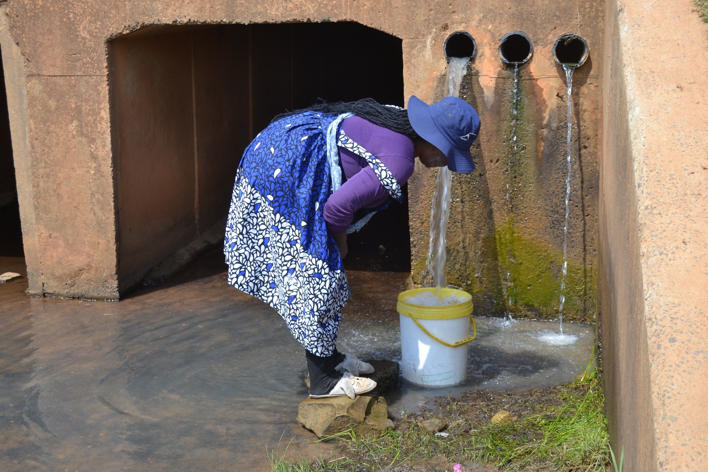
Residents of Rookdale live in touching distance of the Tugela-Vaal Canal, in which several people have drowned, yet they have no access to its water. Instead they depend on old community boreholes, rivers and sources of unknown provenance, like this one. Photo: Tladi Moloi
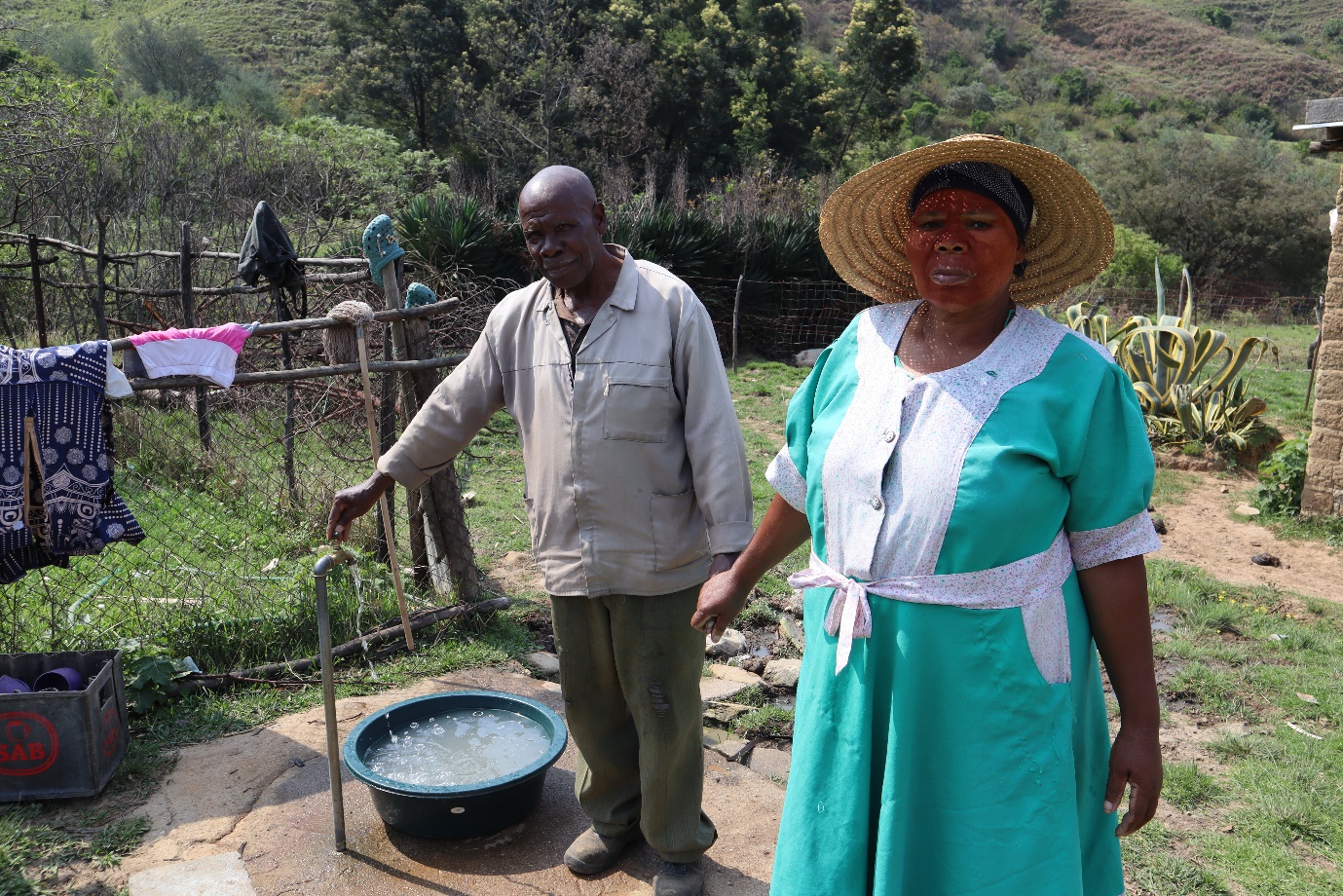
Mphikeleli Hlatshwayo and Matotozi Thulabezwe and the tap for their personal water scheme, which draws water from a fountain atop the hill in the background.
In 2004, Hlatshwayo (78) left his job in a Kempton Park muti shop and moved to a village in Ogade on the western shoreline of Woodstock Dam. On arrival, he and his family faced a challenge that many people in rural areas encounter: the nearest water source, a community well-point, was located over a kilometre away from his home. There is a nearby river, but the quality of the water is poor.
“We drank with the animals,” he said. Rather than wait for the authorities to address the village’s water issues, Hlatshwayo took matters into his own hands in 2022. “There is a mountain behind us, and at the top I found a fountain,” he said. Returning on horseback with a shovel and cement, Hlatshwayo dug a trench and redirected water from the fountain into a water course on his side of the hill, bringing it directly alongside his house.
A short pipeline brings the water to a rain tank, which connects to a tap in his yard. (Read the full story.)
The Tugela-Vaal canal is open and unfenced. Community leaders in Rookdale want it covered for safety reasons.
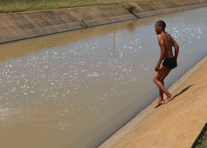
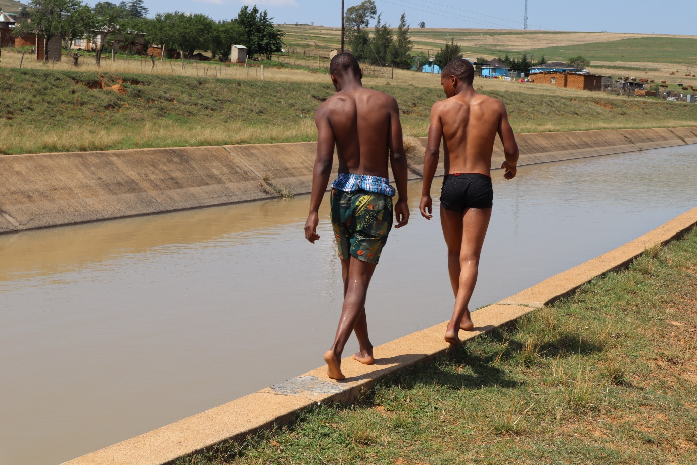
The quality of water in the Thukela is variable but it doesn’t stop adolescents from cooling down in the Tugela-Vaal canal.
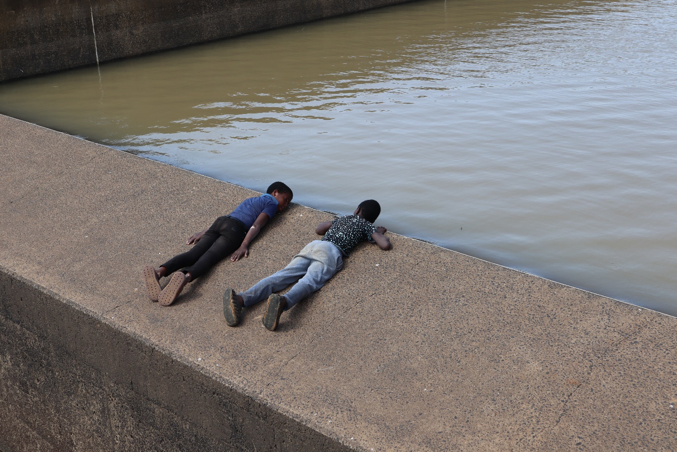
The drowning of a four-year-old in the Tugela-Vaal canal in 2021 led community members to prevent, for a time, the pumping of water.
The Tugela-Vaal Canal feeds water from Woodstock Dam and the Driel Barrage to the Drakensberg Pumped Storage Scheme. The uncovered and unfenced canal runs through communities on the eastern shoreline of Woodstock Dam, including Rookdale.
In 2021, following the drowning of four-year-old Juju Ndaba in the canal, Rookdale residents refused to allow the Department of Water and Sanitation to pump water, presenting both the department and Eskom with a problem, as the water is needed to power the Drakensberg Pumped Storage Scheme, and to fill Sterkfontein Dam, which functions as Johannesburg’s reserve water supply. Several residents have drowned in the canal since 2021, and community antipathy towards the waterway persists.
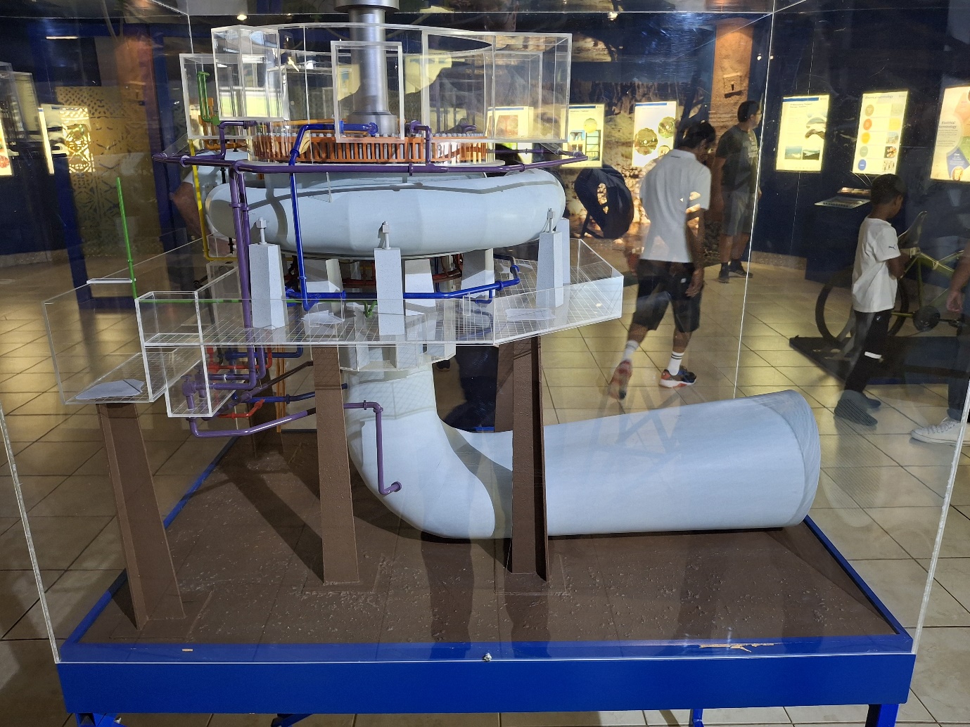
The visitors centre at the Drakensberg Pumped Storage Scheme. After the Thukela-Vaal Transfer Scheme was approved, engineers recognised the potential for a hydroelectric power station to be situated between the upper and lower reservoir.
The then Department of Water Affairs and Eskom started work on this dual-purpose scheme in 1974, completing it in 1982. Electricity is generated only during peak demand periods or emergencies by channelling water from the upper to the lower reservoir through reversible pump-turbine sets. During periods of low energy demand this same water is pumped back from the lower to the upper storage reservoir.
Support independent journalism
Donate using Payfast
![]()
Don't miss out on the latest news
We respect your privacy, and promise we won't spam you.
Next: NPA to proceed in rape cover-up case against Brighton Beach police officers
Previous: Tshwane Municipality fails to improve living conditions at Mamelodi Hostel
© 2025 GroundUp. This article is licensed under a Creative Commons Attribution-NoDerivatives 4.0 International License.
You may republish this article, so long as you credit the authors and GroundUp, and do not change the text. Please include a link back to the original article.
We put an invisible pixel in the article so that we can count traffic to republishers. All analytics tools are solely on our servers. We do not give our logs to any third party. Logs are deleted after two weeks. We do not use any IP address identifying information except to count regional traffic. We are solely interested in counting hits, not tracking users. If you republish, please do not delete the invisible pixel.